New Lane
Introduction
The photograph on this page of New Lane by Ian Capper as part of the Geograph project.
The Geograph project started in 2005 with the aim of publishing, organising and preserving representative images for every square kilometre of Great Britain, Ireland and the Isle of Man.

There are currently over 7.5m images from over 14,400 individuals and you can help contribute to the project by visiting https://www.geograph.org.uk
New Lane
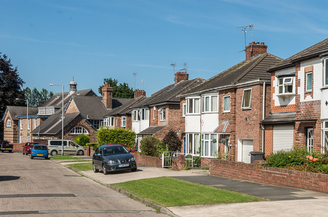
Image: © Ian Capper Taken: 18 Jul 2017
1930s semi-detached housing in a road between Hamilton Drive and Acomb Road. In the background is Holgate Methodist Church, built in 1910.
Images are licensed for reuse under creativecommons.org/licenses/by-sa/2.0
Image Location
Latitude
53.954846
Longitude
-1.11012