Rhiw Road, Colwyn Bay
Introduction
The photograph on this page of Rhiw Road, Colwyn Bay by Stephen McKay as part of the Geograph project.
The Geograph project started in 2005 with the aim of publishing, organising and preserving representative images for every square kilometre of Great Britain, Ireland and the Isle of Man.

There are currently over 7.5m images from over 14,400 individuals and you can help contribute to the project by visiting https://www.geograph.org.uk
Rhiw Road, Colwyn Bay
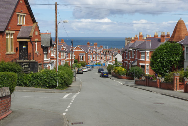
Image: © Stephen McKay Taken: 7 Aug 2017
Looking down into the town with Woodhill Baptist Church on the left. The church dates from 1902, originally as a Calvanistic Methodist chapel; it was taken over by the Baptists in 1935 although it only acquired its present name in the 1980s.
Images are licensed for reuse under creativecommons.org/licenses/by-sa/2.0
Image Location
Latitude
53.291387
Longitude
-3.727167