Entrance to Lyons Gate, Calleywell Lane
Introduction
The photograph on this page of Entrance to Lyons Gate, Calleywell Lane by John Baker as part of the Geograph project.
The Geograph project started in 2005 with the aim of publishing, organising and preserving representative images for every square kilometre of Great Britain, Ireland and the Isle of Man.

There are currently over 7.5m images from over 14,400 individuals and you can help contribute to the project by visiting https://www.geograph.org.uk
Entrance to Lyons Gate, Calleywell Lane
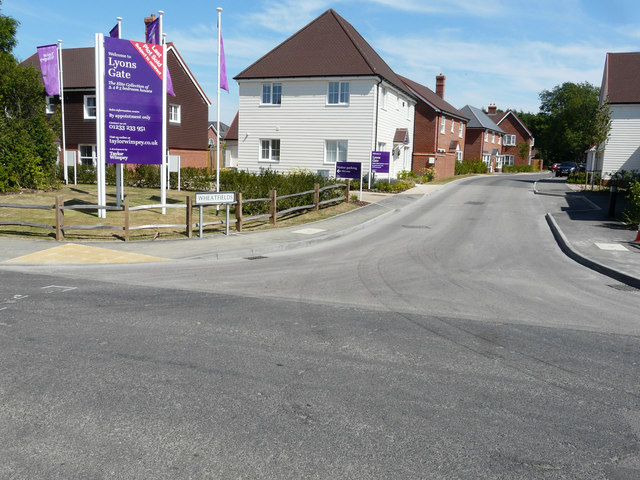
Image: © John Baker Taken: 9 Jul 2017
Compared with Image, the gate and high, wooden fence have been removed and the fence replaced with one that has a more rustic appearance. The road, into the development (where houses are still being erected), has been given the name Wheatfields. Planning permission was granted by Ashford Borough Council under application number 14/00681/AS for the “erection of 41 dwellings with access from Calleywell Lane, together with associated parking, landscaping and open space”.
Images are licensed for reuse under creativecommons.org/licenses/by-sa/2.0
Image Location


Leaflet Map data © OpenStreetMap
Latitude
51.096763
Longitude
0.942961