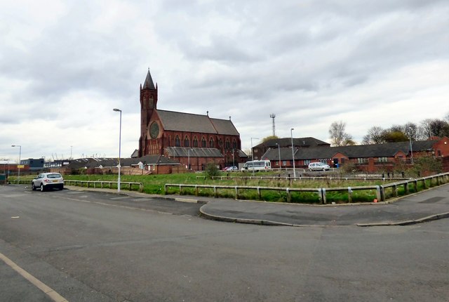
St Benedict's Square
Introduction
The photograph on this page of St Benedict's Square by Gerald England as part of the Geograph project.
The Geograph project started in 2005 with the aim of publishing, organising and preserving representative images for every square kilometre of Great Britain, Ireland and the Isle of Man.
There are currently over 7.5m images from over 14,400 individuals and you can help contribute to the project by visiting https://www.geograph.org.uk

Image: © Gerald England Taken: 16 Mar 2017
View from the corner of Trowtree Avenue and Reabrook Avenue towards St Benedict's Church Image now Manchester Climbing Centre http://www.climbingcentregroup.com/centres/manchester/ Before 2014 this view would have been blocked four-storey blocks of flats. In recent year this area of West Gorton has seen much of the old housing stock demolished and replaced by low-rise housing.

