Dye House
Introduction
The photograph on this page of Dye House by Oliver Dixon as part of the Geograph project.
The Geograph project started in 2005 with the aim of publishing, organising and preserving representative images for every square kilometre of Great Britain, Ireland and the Isle of Man.

There are currently over 7.5m images from over 14,400 individuals and you can help contribute to the project by visiting https://www.geograph.org.uk
Dye House
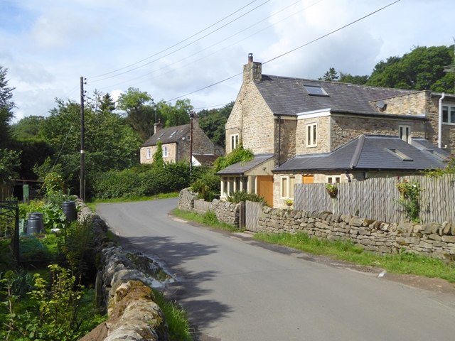
Image: © Oliver Dixon Taken: 6 Aug 2017
A hamlet on the Rowley Burn, so named because during the 17th and 18th centuries, it was an industrial settlement where cloth was thickened in a fulling mill and dyed.
Images are licensed for reuse under creativecommons.org/licenses/by-sa/2.0
Image Location
Latitude
54.921603
Longitude
-2.100133