Start of the 30 zone, Church Hill, English Bicknor
Introduction
The photograph on this page of Start of the 30 zone, Church Hill, English Bicknor by Jaggery as part of the Geograph project.
The Geograph project started in 2005 with the aim of publishing, organising and preserving representative images for every square kilometre of Great Britain, Ireland and the Isle of Man.

There are currently over 7.5m images from over 14,400 individuals and you can help contribute to the project by visiting https://www.geograph.org.uk
Start of the 30 zone, Church Hill, English Bicknor
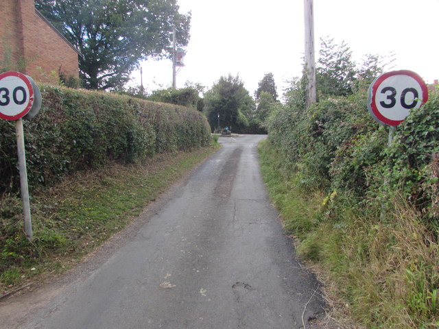
Image: © Jaggery Taken: 31 Jul 2016
On the ascent from Eastbach, the National Speed Limit on Church Hill drops to 30mph near the corner of Church Hill Close.
Images are licensed for reuse under creativecommons.org/licenses/by-sa/2.0
Image Location


Leaflet Map data © OpenStreetMap
Latitude
51.838062
Longitude
-2.608083