5, Church Hill
Introduction
The photograph on this page of 5, Church Hill by John Baker as part of the Geograph project.
The Geograph project started in 2005 with the aim of publishing, organising and preserving representative images for every square kilometre of Great Britain, Ireland and the Isle of Man.

There are currently over 7.5m images from over 14,400 individuals and you can help contribute to the project by visiting https://www.geograph.org.uk
5, Church Hill
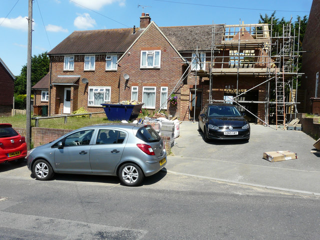
Image: © John Baker Taken: 9 Jul 2017
Planning permission was granted by Ashford Borough Council under application number 15/00690/AS for the “demolition of existing single storey side extension and erection of two storey side extension including integral garage”.
Images are licensed for reuse under creativecommons.org/licenses/by-sa/2.0
Image Location
Latitude
51.118361
Longitude
0.862875