Footpath east from end of George Street
Introduction
The photograph on this page of Footpath east from end of George Street by Robin Webster as part of the Geograph project.
The Geograph project started in 2005 with the aim of publishing, organising and preserving representative images for every square kilometre of Great Britain, Ireland and the Isle of Man.

There are currently over 7.5m images from over 14,400 individuals and you can help contribute to the project by visiting https://www.geograph.org.uk
Footpath east from end of George Street
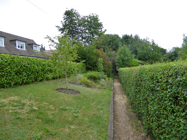
Image: © Robin Webster Taken: 28 Jul 2017
The house on the left is on one of the embanked approach roads to a bridge over the railway. The road looks to have been built with the railway, suggesting this path was more important prior to this.
Images are licensed for reuse under creativecommons.org/licenses/by-sa/2.0
Image Location
Latitude
51.756956
Longitude
-0.548966