Stoke Water Cottage
Introduction
The photograph on this page of Stoke Water Cottage by Derek Harper as part of the Geograph project.
The Geograph project started in 2005 with the aim of publishing, organising and preserving representative images for every square kilometre of Great Britain, Ireland and the Isle of Man.

There are currently over 7.5m images from over 14,400 individuals and you can help contribute to the project by visiting https://www.geograph.org.uk
Stoke Water Cottage
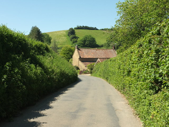
Image: © Derek Harper Taken: 26 May 2017
Shown at much closer range in Image, and here seen along the lane from Beaminster with Workhouse Wood on the right. The former workhouse, now flats and named Stoke Water House, is just off to the right behind the cottage - see Image
Images are licensed for reuse under creativecommons.org/licenses/by-sa/2.0
Image Location
Latitude
50.805461
Longitude
-2.757779