Portishead from the air
Introduction
The photograph on this page of Portishead from the air by Derek Harper as part of the Geograph project.
The Geograph project started in 2005 with the aim of publishing, organising and preserving representative images for every square kilometre of Great Britain, Ireland and the Isle of Man.

There are currently over 7.5m images from over 14,400 individuals and you can help contribute to the project by visiting https://www.geograph.org.uk
Portishead from the air
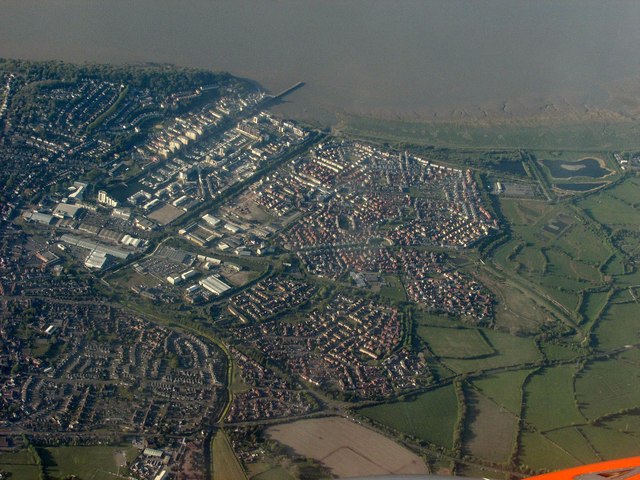
Image: © Derek Harper Taken: 22 Apr 2017
The business park and trading estate left of centre, and housing estates to the right, with the pier at the top.
Images are licensed for reuse under creativecommons.org/licenses/by-sa/2.0
Image Location
Latitude
51.484112
Longitude
-2.756017