First houses of Northstowe (update)
Introduction
The photograph on this page of First houses of Northstowe (update) by Keith Edkins as part of the Geograph project.
The Geograph project started in 2005 with the aim of publishing, organising and preserving representative images for every square kilometre of Great Britain, Ireland and the Isle of Man.

There are currently over 7.5m images from over 14,400 individuals and you can help contribute to the project by visiting https://www.geograph.org.uk
First houses of Northstowe (update)
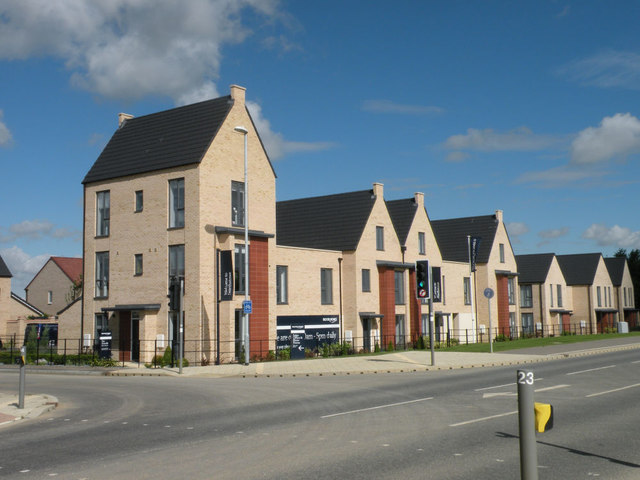
Image: © Keith Edkins Taken: 1 Aug 2017
The houses seen in Image are looking nearly ready for occupation
Images are licensed for reuse under creativecommons.org/licenses/by-sa/2.0
Image Location
Latitude
52.288643
Longitude
0.049703