Horsehold Farm near Hebble End
Introduction
The photograph on this page of Horsehold Farm near Hebble End by Bobby Clegg as part of the Geograph project.
The Geograph project started in 2005 with the aim of publishing, organising and preserving representative images for every square kilometre of Great Britain, Ireland and the Isle of Man.

There are currently over 7.5m images from over 14,400 individuals and you can help contribute to the project by visiting https://www.geograph.org.uk
Horsehold Farm near Hebble End
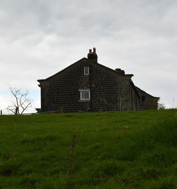
Image: © Bobby Clegg Taken: 17 Sep 2015
The westernmost building at Horsehold Farm stands darkly under a turbulent looking grey sky. Viewed from Beaumont Clough Road a little to the south of Horsehold Lane.
Images are licensed for reuse under creativecommons.org/licenses/by-sa/2.0
Image Location
Latitude
53.736145
Longitude
-2.028311