Slip road, Sandygate
Introduction
The photograph on this page of Slip road, Sandygate by Derek Harper as part of the Geograph project.
The Geograph project started in 2005 with the aim of publishing, organising and preserving representative images for every square kilometre of Great Britain, Ireland and the Isle of Man.

There are currently over 7.5m images from over 14,400 individuals and you can help contribute to the project by visiting https://www.geograph.org.uk
Slip road, Sandygate
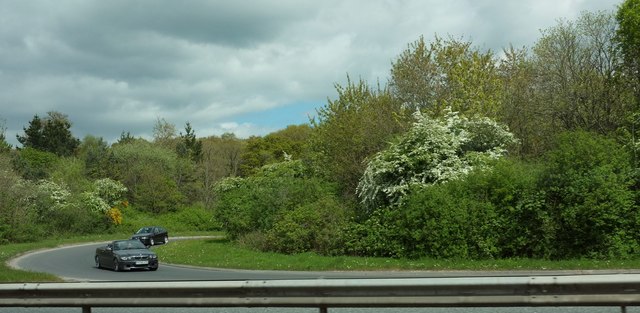
Image: © Derek Harper Taken: 22 Apr 2017
A slip road from the B3185 joins the A380 dual carriageway, with cars heading for Torbay swinging round a 180° bend to be faced with a very short amount of slip lane to join a busy and fast main road. The woodland is an isolated chunk of Stony Copse.
Images are licensed for reuse under creativecommons.org/licenses/by-sa/2.0
Image Location
Latitude
50.564431
Longitude
-3.596139