Queen Street, Honiton
Introduction
The photograph on this page of Queen Street, Honiton by Jaggery as part of the Geograph project.
The Geograph project started in 2005 with the aim of publishing, organising and preserving representative images for every square kilometre of Great Britain, Ireland and the Isle of Man.

There are currently over 7.5m images from over 14,400 individuals and you can help contribute to the project by visiting https://www.geograph.org.uk
Queen Street, Honiton
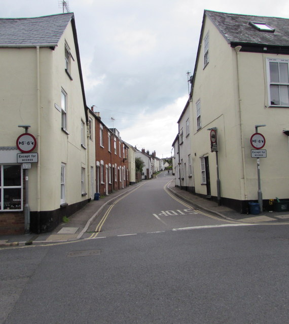
Image: © Jaggery Taken: 1 Aug 2017
Queen Street ascends from the east side of New Street. Signs show a 6' 6" (almost 2 metres) maximum vehicle width ahead, except for access.
Images are licensed for reuse under creativecommons.org/licenses/by-sa/2.0
Image Location
Latitude
50.79855
Longitude
-3.187477