Housing on Roger Dudman Way, from the Thames towpath
Introduction
The photograph on this page of Housing on Roger Dudman Way, from the Thames towpath by Christopher Hilton as part of the Geograph project.
The Geograph project started in 2005 with the aim of publishing, organising and preserving representative images for every square kilometre of Great Britain, Ireland and the Isle of Man.

There are currently over 7.5m images from over 14,400 individuals and you can help contribute to the project by visiting https://www.geograph.org.uk
Housing on Roger Dudman Way, from the Thames towpath
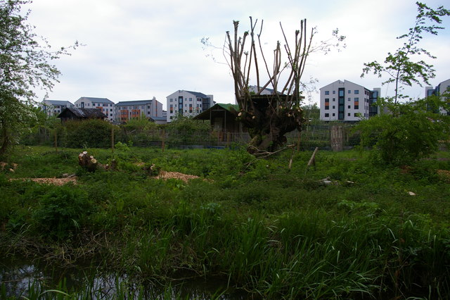
Image: © Christopher Hilton Taken: 4 May 2017
In the foreground, Fiddlers Island Stream, which runs parallel to the towpath. This new housing stretches north along the side of the railway sidings.
Images are licensed for reuse under creativecommons.org/licenses/by-sa/2.0
Image Location
Latitude
51.75998
Longitude
-1.273483