Chestnut Avenue, part of the Burnthouse Land housing estate
Introduction
The photograph on this page of Chestnut Avenue, part of the Burnthouse Land housing estate by David Smith as part of the Geograph project.
The Geograph project started in 2005 with the aim of publishing, organising and preserving representative images for every square kilometre of Great Britain, Ireland and the Isle of Man.

There are currently over 7.5m images from over 14,400 individuals and you can help contribute to the project by visiting https://www.geograph.org.uk
Chestnut Avenue, part of the Burnthouse Land housing estate
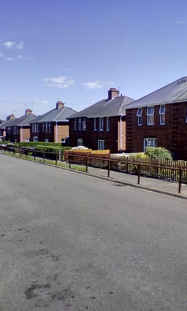
Image: © David Smith Taken: 5 Jul 2017
The area was developed as council housing when Exeter cleared its slums
Images are licensed for reuse under creativecommons.org/licenses/by-sa/2.0
Image Location
Latitude
50.709579
Longitude
-3.501919