Church Spire
Introduction
The photograph on this page of Church Spire by Andrew Wood as part of the Geograph project.
The Geograph project started in 2005 with the aim of publishing, organising and preserving representative images for every square kilometre of Great Britain, Ireland and the Isle of Man.

There are currently over 7.5m images from over 14,400 individuals and you can help contribute to the project by visiting https://www.geograph.org.uk
Church Spire
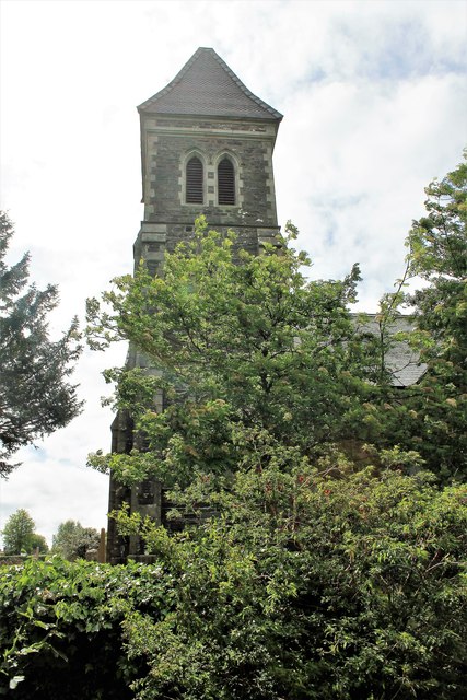
Image: © Andrew Wood Taken: 21 May 2017
The spire of Wigtown Parish Church seen through trees.
Images are licensed for reuse under creativecommons.org/licenses/by-sa/2.0
Image Location
Latitude
54.870186
Longitude
-4.439261