Whitefriars Housing office for Willenhall tenants, St James' Lane, southeast Coventry
Introduction
The photograph on this page of Whitefriars Housing office for Willenhall tenants, St James' Lane, southeast Coventry by Robin Stott as part of the Geograph project.
The Geograph project started in 2005 with the aim of publishing, organising and preserving representative images for every square kilometre of Great Britain, Ireland and the Isle of Man.

There are currently over 7.5m images from over 14,400 individuals and you can help contribute to the project by visiting https://www.geograph.org.uk
Whitefriars Housing office for Willenhall tenants, St James' Lane, southeast Coventry
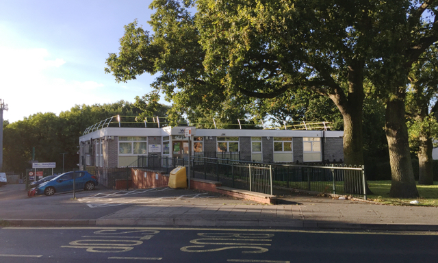
Image: © Robin Stott Taken: 5 Oct 2016
There is a small depot behind for the Homeworks housing repairs team. The scrubby woodland at the back has developed in recent years. From the 1930s to the 1970s the land is shown on old maps as a market garden and later as a nursery. This office may be the building that appears around 1980. A view from the west is Image Whitefriars Housing is a registered social landlord, Coventry's largest. It is part of the WM Housing Group: https://www.wmhousing.co.uk/wp-content/uploads/2016/11/documents-corporate-groupstructure-group-structure-chart.pdf
Images are licensed for reuse under creativecommons.org/licenses/by-sa/2.0
Image Location
Latitude
52.385945
Longitude
-1.464108