Site of demolished Aitkenbar Primary School
Introduction
The photograph on this page of Site of demolished Aitkenbar Primary School by Lairich Rig as part of the Geograph project.
The Geograph project started in 2005 with the aim of publishing, organising and preserving representative images for every square kilometre of Great Britain, Ireland and the Isle of Man.

There are currently over 7.5m images from over 14,400 individuals and you can help contribute to the project by visiting https://www.geograph.org.uk
Site of demolished Aitkenbar Primary School
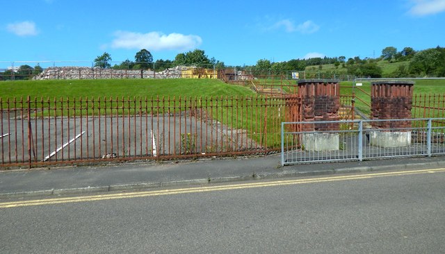
Image: © Lairich Rig Taken: 17 Jul 2017
The view is from Whiteford Crescent. The school buildings stood where rubble is now visible at the top of the grassy slope in the left background. For more information, see Image, which has links to related pictures.
Images are licensed for reuse under creativecommons.org/licenses/by-sa/2.0
Image Location
Latitude
55.953913
Longitude
-4.546254