Dumbarton foreshore
Introduction
The photograph on this page of Dumbarton foreshore by Lairich Rig as part of the Geograph project.
The Geograph project started in 2005 with the aim of publishing, organising and preserving representative images for every square kilometre of Great Britain, Ireland and the Isle of Man.

There are currently over 7.5m images from over 14,400 individuals and you can help contribute to the project by visiting https://www.geograph.org.uk
Dumbarton foreshore
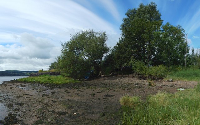
Image: © Lairich Rig Taken: 3 Jul 2017
The 1:25000 map shows a path above the shore making a turn near here; the corner is where railings can be seen in the left background. The path runs just behind the trees that are directly ahead (see Image).
Images are licensed for reuse under creativecommons.org/licenses/by-sa/2.0
Image Location
Latitude
55.936694
Longitude
-4.557454