National Cycle Network Route 46 signpost, Govilon
Introduction
The photograph on this page of National Cycle Network Route 46 signpost, Govilon by Jaggery as part of the Geograph project.
The Geograph project started in 2005 with the aim of publishing, organising and preserving representative images for every square kilometre of Great Britain, Ireland and the Isle of Man.

There are currently over 7.5m images from over 14,400 individuals and you can help contribute to the project by visiting https://www.geograph.org.uk
National Cycle Network Route 46 signpost, Govilon
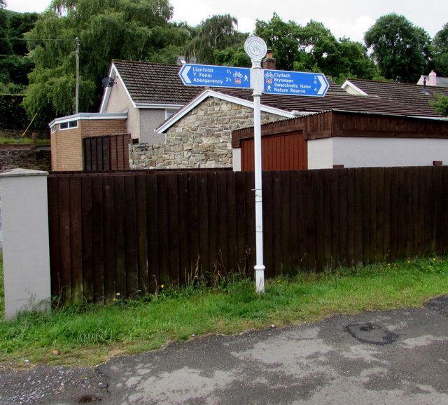
Image: © Jaggery Taken: 23 Jul 2017
Here opposite the former Govilon railway station, the combined cycle route and footpath uses the trackbed of the former Abergavenny to Merthyr railway. Passenger trains on this route ceased in early January 1958.
Images are licensed for reuse under creativecommons.org/licenses/by-sa/2.0
Image Location
Latitude
51.816189
Longitude
-3.066214