Monifieth Ashludie 12th hole, Burnside
Introduction
The photograph on this page of Monifieth Ashludie 12th hole, Burnside by Scott Cormie as part of the Geograph project.
The Geograph project started in 2005 with the aim of publishing, organising and preserving representative images for every square kilometre of Great Britain, Ireland and the Isle of Man.

There are currently over 7.5m images from over 14,400 individuals and you can help contribute to the project by visiting https://www.geograph.org.uk
Monifieth Ashludie 12th hole, Burnside
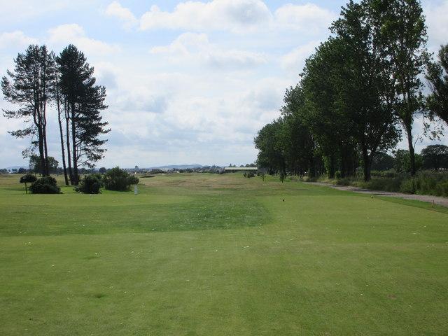
Image: © Scott Cormie Taken: 23 Jul 2017
The tee shot on the twelfth hole on the Ashludie course at Monifieth with the A930 road running up the right hand side behind the trees.
Images are licensed for reuse under creativecommons.org/licenses/by-sa/2.0
Image Location
Latitude
56.486957
Longitude
-2.801669