Path North of Woldingham
Introduction
The photograph on this page of Path North of Woldingham by Richard Mascall as part of the Geograph project.
The Geograph project started in 2005 with the aim of publishing, organising and preserving representative images for every square kilometre of Great Britain, Ireland and the Isle of Man.

There are currently over 7.5m images from over 14,400 individuals and you can help contribute to the project by visiting https://www.geograph.org.uk
Path North of Woldingham
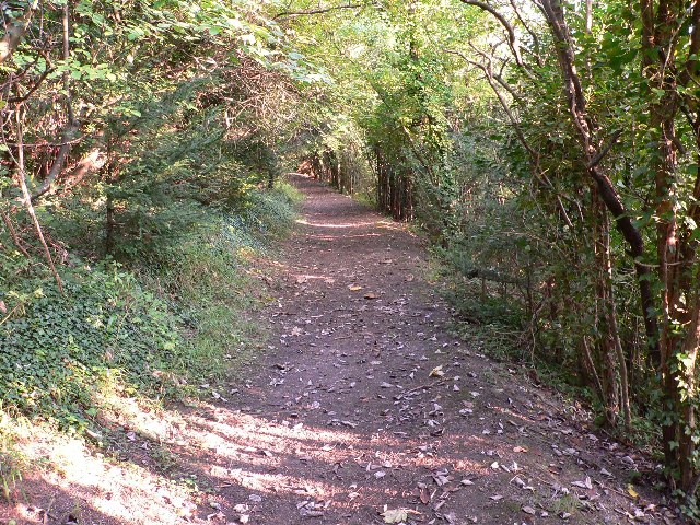
Image: © Richard Mascall Taken: 17 Sep 2005
The path runs between Woldingham Garden Village and Woldingham. This view is South East, towards Woldingham, in a wood with many yew trees.
Images are licensed for reuse under creativecommons.org/licenses/by-sa/2.0
Image Location


Leaflet Map data © OpenStreetMap
Latitude
51.29128
Longitude
-0.04379