Bridleway leading to Whittonstall and Whittonstall Sproats
Introduction
The photograph on this page of Bridleway leading to Whittonstall and Whittonstall Sproats by Trevor Littlewood as part of the Geograph project.
The Geograph project started in 2005 with the aim of publishing, organising and preserving representative images for every square kilometre of Great Britain, Ireland and the Isle of Man.

There are currently over 7.5m images from over 14,400 individuals and you can help contribute to the project by visiting https://www.geograph.org.uk
Bridleway leading to Whittonstall and Whittonstall Sproats
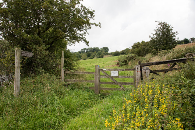
Image: © Trevor Littlewood Taken: 23 Jul 2017
The route leaves a minor road and climbs to the farm at Whittonstall Sproats as a bridleway and to the village of Whittonstall by a public footpath. The footpath leaves the bridleway and enters the village through the church graveyard.
Images are licensed for reuse under creativecommons.org/licenses/by-sa/2.0
Image Location
Latitude
54.906503
Longitude
-1.896568