Postford Pond
Introduction
The photograph on this page of Postford Pond by Colin Smith as part of the Geograph project.
The Geograph project started in 2005 with the aim of publishing, organising and preserving representative images for every square kilometre of Great Britain, Ireland and the Isle of Man.

There are currently over 7.5m images from over 14,400 individuals and you can help contribute to the project by visiting https://www.geograph.org.uk
Postford Pond
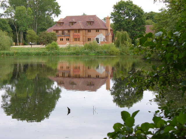
Image: © Colin Smith Taken: 2 Sep 2007
This is one of several ponds along the short course of the Tilling Bourne. Many of the ponds have been used in the past for stocking fish. A new mansion is being built on the eastern side of this pond.
Images are licensed for reuse under creativecommons.org/licenses/by-sa/2.0
Image Location
Latitude
51.220749
Longitude
-0.512618