Corner semis on Edwards Lane Council Estate
Introduction
The photograph on this page of Corner semis on Edwards Lane Council Estate by SK53 as part of the Geograph project.
The Geograph project started in 2005 with the aim of publishing, organising and preserving representative images for every square kilometre of Great Britain, Ireland and the Isle of Man.

There are currently over 7.5m images from over 14,400 individuals and you can help contribute to the project by visiting https://www.geograph.org.uk
Corner semis on Edwards Lane Council Estate
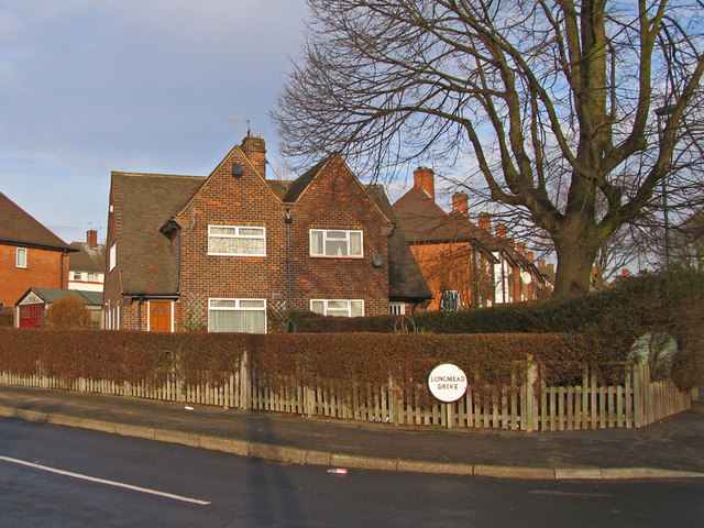
Image: © SK53 Taken: 4 Jan 2011
This design appears to have been used across many Nottingham council estates between the mid-1920s through to the late 1940s (as here). Usually they occupy corner plots at junctions, with the two houses characteristically belonging to different streets. Earlier examples may be pebble-dashed or tile-hung rather than having exposed brickwork.
Images are licensed for reuse under creativecommons.org/licenses/by-sa/2.0
Image Location
Latitude
52.99613
Longitude
-1.149065