Path, Rogerstone Welfare Recreation Ground
Introduction
The photograph on this page of Path, Rogerstone Welfare Recreation Ground by M J Roscoe as part of the Geograph project.
The Geograph project started in 2005 with the aim of publishing, organising and preserving representative images for every square kilometre of Great Britain, Ireland and the Isle of Man.

There are currently over 7.5m images from over 14,400 individuals and you can help contribute to the project by visiting https://www.geograph.org.uk
Path, Rogerstone Welfare Recreation Ground
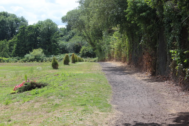
Image: © M J Roscoe Taken: 10 Jul 2017
Path, part of the Sirhowy Valley Walk, alongside playing field. The path is bordered by small evergreen bushes, and in the distance the bushes and path turn to the left.
Images are licensed for reuse under creativecommons.org/licenses/by-sa/2.0
Image Location
Latitude
51.588909
Longitude
-3.063337