Homedown Cross
Introduction
The photograph on this page of Homedown Cross by Derek Harper as part of the Geograph project.
The Geograph project started in 2005 with the aim of publishing, organising and preserving representative images for every square kilometre of Great Britain, Ireland and the Isle of Man.

There are currently over 7.5m images from over 14,400 individuals and you can help contribute to the project by visiting https://www.geograph.org.uk
Homedown Cross
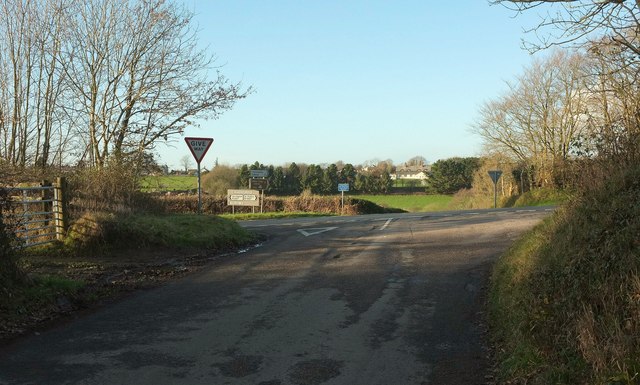
Image: © Derek Harper Taken: 8 Feb 2017
The lane from Watergate Bridge* meets the B3227 here, with a lane ("unsuitable for long and high sided vehicles") into Chittlehampton across the junction. *There are two Watergate Bridges in this area, curiously, at least according to the maps; the other is about 2km WNW from here.
Images are licensed for reuse under creativecommons.org/licenses/by-sa/2.0
Image Location
Latitude
51.007976
Longitude
-3.94616