Recreation Hall, Long Hanborough
Introduction
The photograph on this page of Recreation Hall, Long Hanborough by Des Blenkinsopp as part of the Geograph project.
The Geograph project started in 2005 with the aim of publishing, organising and preserving representative images for every square kilometre of Great Britain, Ireland and the Isle of Man.

There are currently over 7.5m images from over 14,400 individuals and you can help contribute to the project by visiting https://www.geograph.org.uk
Recreation Hall, Long Hanborough
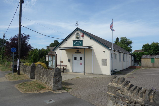
Image: © Des Blenkinsopp Taken: 18 Jul 2017
This hall dates from 1925 as is recorded on the foundation stone to the left of the flagpole. Image
Images are licensed for reuse under creativecommons.org/licenses/by-sa/2.0
Image Location
Latitude
51.825058
Longitude
-1.397802