Access land near to Rawhead
Introduction
The photograph on this page of Access land near to Rawhead by Trevor Littlewood as part of the Geograph project.
The Geograph project started in 2005 with the aim of publishing, organising and preserving representative images for every square kilometre of Great Britain, Ireland and the Isle of Man.

There are currently over 7.5m images from over 14,400 individuals and you can help contribute to the project by visiting https://www.geograph.org.uk
Access land near to Rawhead
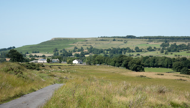
Image: © Trevor Littlewood Taken: 17 Jul 2017
The minor road at the left side of the image is passing through a 'finger' of access land close to the farmhouse at Rawhead. Knipe Scar can be seen in the distance through the valley of the River Lowther.
Images are licensed for reuse under creativecommons.org/licenses/by-sa/2.0
Image Location
Latitude
54.540137
Longitude
-2.726713