Derelict site, Caesar?s Way
Introduction
The photograph on this page of Derelict site, Caesar?s Way by John Baker as part of the Geograph project.
The Geograph project started in 2005 with the aim of publishing, organising and preserving representative images for every square kilometre of Great Britain, Ireland and the Isle of Man.

There are currently over 7.5m images from over 14,400 individuals and you can help contribute to the project by visiting https://www.geograph.org.uk
Derelict site, Caesar?s Way
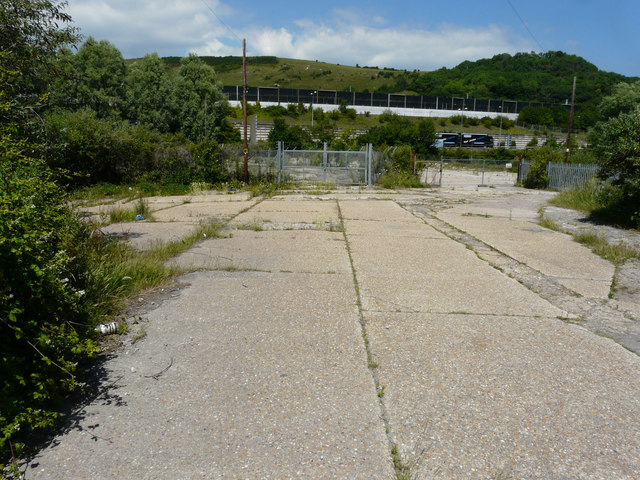
Image: © John Baker Taken: 18 Jun 2017
Beyond the site is the M20 motorway and, above it, the Channel Tunnel Terminal.
Images are licensed for reuse under creativecommons.org/licenses/by-sa/2.0
Image Location
Latitude
51.094752
Longitude
1.14781