Llwybr Becio Hirwaun / Hirwaun Cycle Path
Introduction
The photograph on this page of Llwybr Becio Hirwaun / Hirwaun Cycle Path by Alan Richards as part of the Geograph project.
The Geograph project started in 2005 with the aim of publishing, organising and preserving representative images for every square kilometre of Great Britain, Ireland and the Isle of Man.

There are currently over 7.5m images from over 14,400 individuals and you can help contribute to the project by visiting https://www.geograph.org.uk
Llwybr Becio Hirwaun / Hirwaun Cycle Path
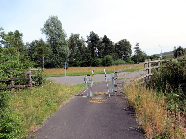
Image: © Alan Richards Taken: 17 Jul 2017
Darn fach o lwybr beicio yn cyrraedd cylchdro brysur iawn yn Hirwaun. A short section of cycle track approaching a very busy roundabout in Hirwaun (trans. long moor).
Images are licensed for reuse under creativecommons.org/licenses/by-sa/2.0
Image Location
Latitude
51.738501
Longitude
-3.523342