Farm buildings at Whiterigg
Introduction
The photograph on this page of Farm buildings at Whiterigg by Jim Barton as part of the Geograph project.
The Geograph project started in 2005 with the aim of publishing, organising and preserving representative images for every square kilometre of Great Britain, Ireland and the Isle of Man.

There are currently over 7.5m images from over 14,400 individuals and you can help contribute to the project by visiting https://www.geograph.org.uk
Farm buildings at Whiterigg
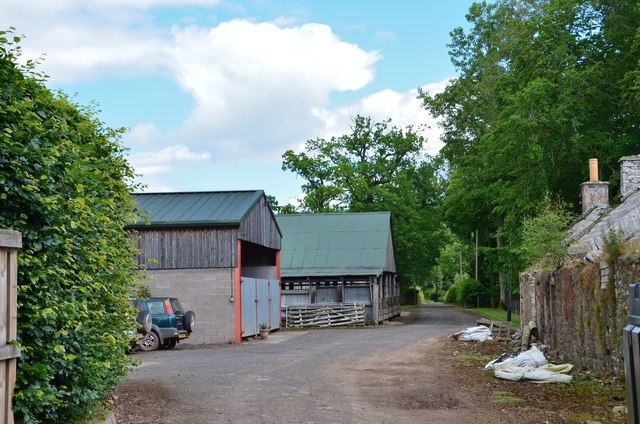
Image: © Jim Barton Taken: 14 Jul 2017
Just past here the track meets the public road to Greenwells and Eildon, but the path continues on direct to Newtown St Boswells.
Images are licensed for reuse under creativecommons.org/licenses/by-sa/2.0
Image Location
Latitude
55.574363
Longitude
-2.697483