The Green Road, Bangor (July 2017)
Introduction
The photograph on this page of The Green Road, Bangor (July 2017) by Albert Bridge as part of the Geograph project.
The Geograph project started in 2005 with the aim of publishing, organising and preserving representative images for every square kilometre of Great Britain, Ireland and the Isle of Man.

There are currently over 7.5m images from over 14,400 individuals and you can help contribute to the project by visiting https://www.geograph.org.uk
The Green Road, Bangor (July 2017)
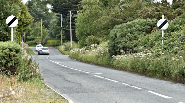
Image: © Albert Bridge Taken: 14 Jul 2017
A road of two distinct parts. The stretch from the ring road roundabout (behind me) is pure suburbia. This section is a minor road running to the Six Road Ends Image
Images are licensed for reuse under creativecommons.org/licenses/by-sa/2.0
Image Location
Latitude
54.631661
Longitude
-5.659764