Staples Barn, Henfield
Introduction
The photograph on this page of Staples Barn, Henfield by Simon Carey as part of the Geograph project.
The Geograph project started in 2005 with the aim of publishing, organising and preserving representative images for every square kilometre of Great Britain, Ireland and the Isle of Man.

There are currently over 7.5m images from over 14,400 individuals and you can help contribute to the project by visiting https://www.geograph.org.uk
Staples Barn, Henfield
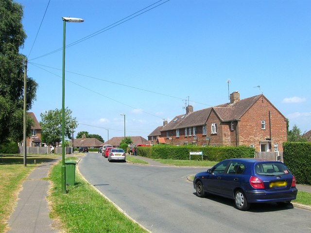
Image: © Simon Carey Taken: 9 Jul 2017
A residential road that links Staples Barn Lane to Fabians Way and also the name of the estate itself which was built around 1950. The section in view was once part of a field called East Seven Acres according to Henfield's 1844 tithe map which was located to the south of Image
Images are licensed for reuse under creativecommons.org/licenses/by-sa/2.0
Image Location
Latitude
50.934878
Longitude
-0.283797