Woodland path, Kings Wood
Introduction
The photograph on this page of Woodland path, Kings Wood by Robin Webster as part of the Geograph project.
The Geograph project started in 2005 with the aim of publishing, organising and preserving representative images for every square kilometre of Great Britain, Ireland and the Isle of Man.

There are currently over 7.5m images from over 14,400 individuals and you can help contribute to the project by visiting https://www.geograph.org.uk
Woodland path, Kings Wood
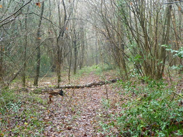
Image: © Robin Webster Taken: 20 Feb 2011
In the finger of woodland projecting north from the main block of this public wood. This part promises some good spring flora later in the year.
Images are licensed for reuse under creativecommons.org/licenses/by-sa/2.0
Image Location


Leaflet Map data © OpenStreetMap
Latitude
51.333089
Longitude
-0.059525