Alley behind the church, Winsley
Introduction
The photograph on this page of Alley behind the church, Winsley by HelenK as part of the Geograph project.
The Geograph project started in 2005 with the aim of publishing, organising and preserving representative images for every square kilometre of Great Britain, Ireland and the Isle of Man.

There are currently over 7.5m images from over 14,400 individuals and you can help contribute to the project by visiting https://www.geograph.org.uk
Alley behind the church, Winsley
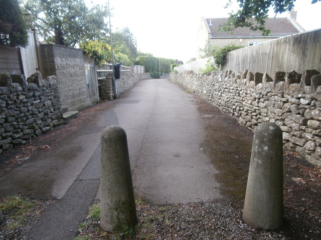
Image: © HelenK Taken: 12 Jul 2017
This is wide enough to once have been (as the Italians say) 'passo carrabile' but has been blocked with some bollards. Another change is the wooden fences behind the original stone wall. Winsley abounds in little alleys like this.
Images are licensed for reuse under creativecommons.org/licenses/by-sa/2.0
Image Location
Latitude
51.34835
Longitude
-2.290137