Durants Park
Introduction
The photograph on this page of Durants Park by Marathon as part of the Geograph project.
The Geograph project started in 2005 with the aim of publishing, organising and preserving representative images for every square kilometre of Great Britain, Ireland and the Isle of Man.

There are currently over 7.5m images from over 14,400 individuals and you can help contribute to the project by visiting https://www.geograph.org.uk
Durants Park
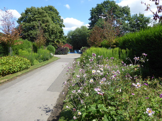
Image: © Marathon Taken: 12 Jul 2017
Durants Park is L-shaped and wraps around the churchyard of St James and Hertford Road Cemetery. There are some attractive flower beds near the entrances on Hertford Road.
Images are licensed for reuse under creativecommons.org/licenses/by-sa/2.0
Image Location
Latitude
51.65465
Longitude
-0.0477