
Road to Macaroni Downs Farm
Introduction
The photograph on this page of Road to Macaroni Downs Farm by Philip Halling as part of the Geograph project.
The Geograph project started in 2005 with the aim of publishing, organising and preserving representative images for every square kilometre of Great Britain, Ireland and the Isle of Man.

There are currently over 7.5m images from over 14,400 individuals and you can help contribute to the project by visiting https://www.geograph.org.uk
Road to Macaroni Downs Farm
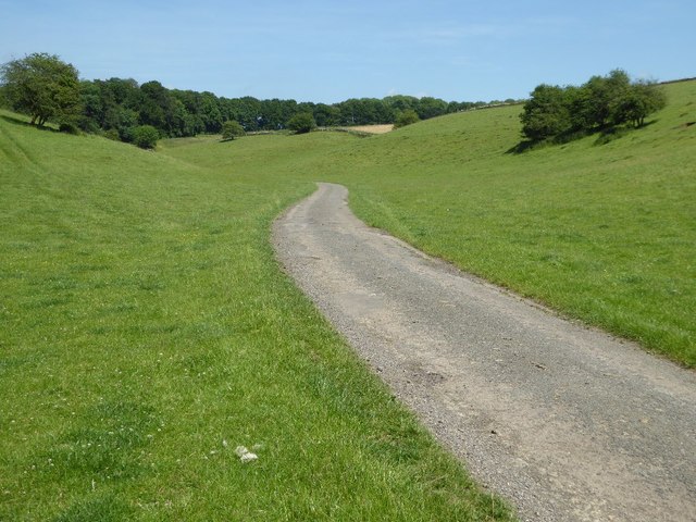
Image: © Philip Halling Taken: 17 Jun 2017
A no through road following a dry Cotswold valley and leading to Macaroni Downs Farm. The name Macaroni appears somewhat out of place in this corner of Gloucestershire, a little research has identified the origin of this name. One of the dictionary definitions for the word 'Macaroni' is 'an English dandy of the 18th century who affected Continental mannerisms, clothes, etc.' Back in the eighteenth century members of the London-based 'Macaroni Club' would attend a racecourse on this land. In the late 18th and early 19th Century during the reign of George III, enclosure took place here with the farm adopting the name of these former visitors. Nearby there is another farm named Macaroni Farm and also Macaroni Wood.
Images are licensed for reuse under creativecommons.org/licenses/by-sa/2.0
Image Location

Latitude
51.763257
Longitude
-1.727689