Countryside southeast of Camelford
Introduction
The photograph on this page of Countryside southeast of Camelford by Derek Harper as part of the Geograph project.
The Geograph project started in 2005 with the aim of publishing, organising and preserving representative images for every square kilometre of Great Britain, Ireland and the Isle of Man.

There are currently over 7.5m images from over 14,400 individuals and you can help contribute to the project by visiting https://www.geograph.org.uk
Countryside southeast of Camelford
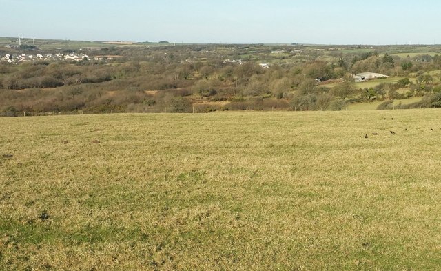
Image: © Derek Harper Taken: 25 Jan 2017
From a little east of where Image], Image] and Image] were taken, looking between the latter two directionwise.
Images are licensed for reuse under creativecommons.org/licenses/by-sa/2.0
Image Location
Latitude
50.614312
Longitude
-4.668618