West Lyn River
Introduction
The photograph on this page of West Lyn River by Bill Boaden as part of the Geograph project.
The Geograph project started in 2005 with the aim of publishing, organising and preserving representative images for every square kilometre of Great Britain, Ireland and the Isle of Man.

There are currently over 7.5m images from over 14,400 individuals and you can help contribute to the project by visiting https://www.geograph.org.uk
West Lyn River
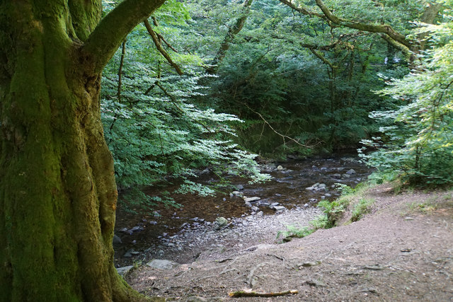
Image: © Bill Boaden Taken: 5 Jul 2017
Above Lynbridge where its gradient is still not very steep.
Images are licensed for reuse under creativecommons.org/licenses/by-sa/2.0
Image Location
Latitude
51.217252
Longitude
-3.840277