Aylesbury Station
Introduction
The photograph on this page of Aylesbury Station by Stephen McKay as part of the Geograph project.
The Geograph project started in 2005 with the aim of publishing, organising and preserving representative images for every square kilometre of Great Britain, Ireland and the Isle of Man.

There are currently over 7.5m images from over 14,400 individuals and you can help contribute to the project by visiting https://www.geograph.org.uk
Aylesbury Station
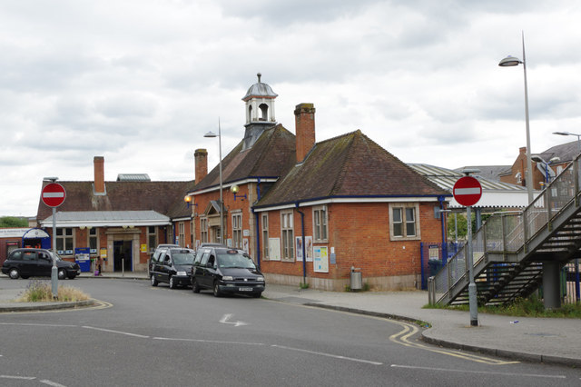
Image: © Stephen McKay Taken: 4 Jul 2017
Although at one time an intermediate station on the Great Central line to Sheffield and Manchester, Aylesbury was from 1966 onwards a terminus for trains using the two routes from Marylebone. Services now extend north to Aylesbury Vale Parkway but this remains the principal station for the town centre.
Images are licensed for reuse under creativecommons.org/licenses/by-sa/2.0
Image Location
Latitude
51.81389
Longitude
-0.815226