Main Road, Biggin Hill
Introduction
The photograph on this page of Main Road, Biggin Hill by Marathon as part of the Geograph project.
The Geograph project started in 2005 with the aim of publishing, organising and preserving representative images for every square kilometre of Great Britain, Ireland and the Isle of Man.

There are currently over 7.5m images from over 14,400 individuals and you can help contribute to the project by visiting https://www.geograph.org.uk
Main Road, Biggin Hill
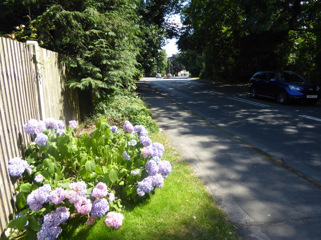
Image: © Marathon Taken: 5 Jul 2017
The land at Biggin Hill drops away steeply on the west side, with parts being built up and other parts kept as open land. Jugg Hill, which is on the other side of Main Road here, is on this slope and is almost entirely covered by woodland. The junction with Jail Lane is just ahead.
Images are licensed for reuse under creativecommons.org/licenses/by-sa/2.0
Image Location
Latitude
51.316865
Longitude
0.032782