Greenbank Park
Introduction
The photograph on this page of Greenbank Park by Richard Sutcliffe as part of the Geograph project.
The Geograph project started in 2005 with the aim of publishing, organising and preserving representative images for every square kilometre of Great Britain, Ireland and the Isle of Man.

There are currently over 7.5m images from over 14,400 individuals and you can help contribute to the project by visiting https://www.geograph.org.uk
Greenbank Park
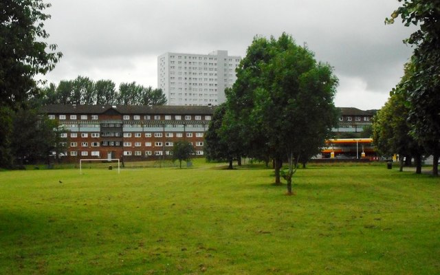
Image: © Richard Sutcliffe Taken: 7 Jul 2017
Looking towards Harriet Place, a long five-storey terrace of flats, dating from the 1970s. Behind are the only surviving high rise flats in the Pollokshaws area, at 33 Cartcraigs Road.
Images are licensed for reuse under creativecommons.org/licenses/by-sa/2.0
Image Location
Latitude
55.818885
Longitude
-4.301473