Old Custom House, Lower Dock Street, Newport
Introduction
The photograph on this page of Old Custom House, Lower Dock Street, Newport by Jaggery as part of the Geograph project.
The Geograph project started in 2005 with the aim of publishing, organising and preserving representative images for every square kilometre of Great Britain, Ireland and the Isle of Man.

There are currently over 7.5m images from over 14,400 individuals and you can help contribute to the project by visiting https://www.geograph.org.uk
Old Custom House, Lower Dock Street, Newport
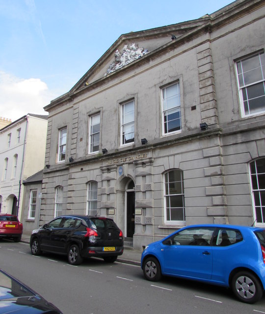
Image: © Jaggery Taken: 7 Jul 2017
Victorian building (erected 1858) with a pediment containing a crest. The blue plaque http://www.geograph.org.uk/photo/5453308 on the building records "As ship movements concentrated even further down river" (the Usk) "ship brokers, chandlers, consulates and bonded warehouses became established in Lower Dock Street. HM Customs moved here from Skinner Street in 1858". The Grade II listed building is now used as offices.
Images are licensed for reuse under creativecommons.org/licenses/by-sa/2.0
Image Location
Latitude
51.583169
Longitude
-2.98974