Farmland between High and Low Brecks Farms
Introduction
The photograph on this page of Farmland between High and Low Brecks Farms by Kate Jewell as part of the Geograph project.
The Geograph project started in 2005 with the aim of publishing, organising and preserving representative images for every square kilometre of Great Britain, Ireland and the Isle of Man.

There are currently over 7.5m images from over 14,400 individuals and you can help contribute to the project by visiting https://www.geograph.org.uk
Farmland between High and Low Brecks Farms
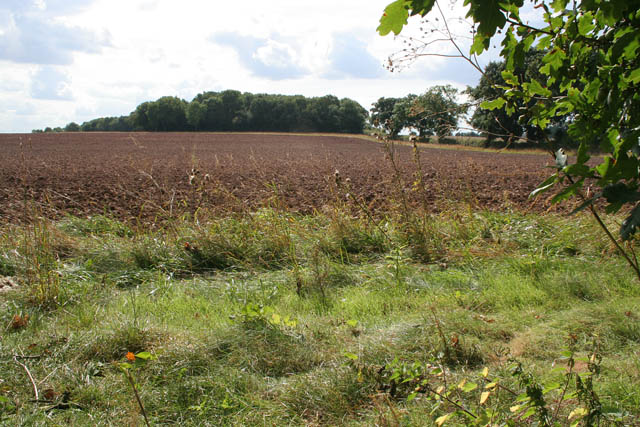
Image: © Kate Jewell Taken: 3 Sep 2007
The wood on the horizon is High Brecks Plantation which just clips the featured square.
Images are licensed for reuse under creativecommons.org/licenses/by-sa/2.0
Image Location
Latitude
53.257856
Longitude
-0.863709