Building work at Clay Farm (Great Kneighton)
Introduction
The photograph on this page of Building work at Clay Farm (Great Kneighton) by John Sutton as part of the Geograph project.
The Geograph project started in 2005 with the aim of publishing, organising and preserving representative images for every square kilometre of Great Britain, Ireland and the Isle of Man.

There are currently over 7.5m images from over 14,400 individuals and you can help contribute to the project by visiting https://www.geograph.org.uk
Building work at Clay Farm (Great Kneighton)
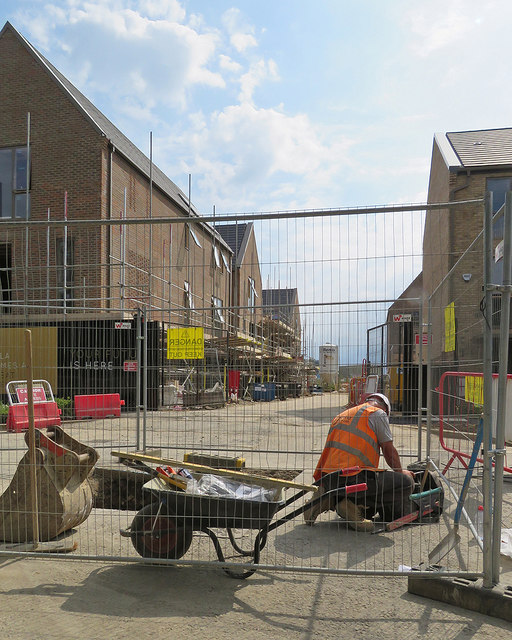
Image: © John Sutton Taken: 6 Jul 2017
At work on the huge Clay Farm (Great Kneighton) estate east of Trumpington. (The grid references are as accurate as I can make them as mapping has not kept pace with construction.)
Images are licensed for reuse under creativecommons.org/licenses/by-sa/2.0
Image Location
Latitude
52.172412
Longitude
0.12406