Burdrop, Sibford Gower
Introduction
The photograph on this page of Burdrop, Sibford Gower by Chris Brown as part of the Geograph project.
The Geograph project started in 2005 with the aim of publishing, organising and preserving representative images for every square kilometre of Great Britain, Ireland and the Isle of Man.

There are currently over 7.5m images from over 14,400 individuals and you can help contribute to the project by visiting https://www.geograph.org.uk
Burdrop, Sibford Gower
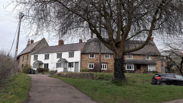
Image: © Chris Brown Taken: 26 Feb 2017
Burdrop gathers very attractively on a knoll at the east end of Sibford Gower, above Hawks Lane which connects across the steep valley to Sibford Ferris.
Images are licensed for reuse under creativecommons.org/licenses/by-sa/2.0
Image Location
Latitude
52.037095
Longitude
-1.479804