From the Bridge
Introduction
The photograph on this page of From the Bridge by Ken Ballinger as part of the Geograph project.
The Geograph project started in 2005 with the aim of publishing, organising and preserving representative images for every square kilometre of Great Britain, Ireland and the Isle of Man.

There are currently over 7.5m images from over 14,400 individuals and you can help contribute to the project by visiting https://www.geograph.org.uk
From the Bridge
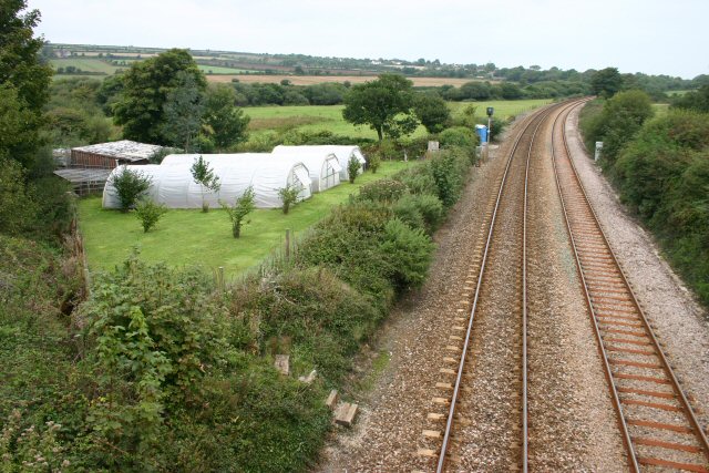
Image: © Ken Ballinger Taken: 13 Sep 2005
Having got lost on the way to St Ives, we stopped on a railway bridge to see where we were. Still not sure so used the GPS. Found we were at SW5294633962. This is the railway line going NE from Penzance.
Images are licensed for reuse under creativecommons.org/licenses/by-sa/2.0
Image Location


Leaflet Map data © OpenStreetMap
Latitude
50.154374
Longitude
-5.459756