Churchyard extension at St Decuman's
Introduction
The photograph on this page of Churchyard extension at St Decuman's by Bill Boaden as part of the Geograph project.
The Geograph project started in 2005 with the aim of publishing, organising and preserving representative images for every square kilometre of Great Britain, Ireland and the Isle of Man.

There are currently over 7.5m images from over 14,400 individuals and you can help contribute to the project by visiting https://www.geograph.org.uk
Churchyard extension at St Decuman's
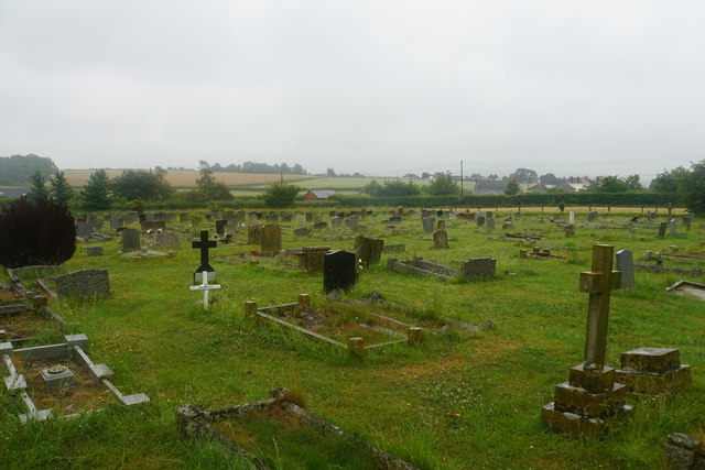
Image: © Bill Boaden Taken: 28 Jun 2017
A slightly newer part of the graveyard, viewed here in rain.
Images are licensed for reuse under creativecommons.org/licenses/by-sa/2.0
Image Location
Latitude
51.175339
Longitude
-3.337756